
Buckingham Township ZIP Code Coverage
Buckingham Township is a 32.88-square-mile Bucks County township of villages and crossroads, not a single postal district. Its New Residents page lists ten post office and ZIP combinations that serve local addresses. That list gives a sound postal starting point. It does not mean every address in each listed ZIP belongs to the township. Postal delivery geography and municipal boundaries follow different systems.
| Postal ZIP | Township-listed postal area | Post office label | Boundary note |
|---|---|---|---|
| 18912 | Township office locality | Buckingham | The Township office uses this label. |
| 18902 | Parts of the Township and precinct facilities | Doylestown | A Doylestown delivery label can occur in Buckingham Township. |
| 18925 | Furlong village area | Furlong | Furlong has Buckingham and Doylestown Township context. |
| 18922 | Forest Grove context | Forest Grove | Use municipality and parcel fields to confirm location. |
| 18928 | Holicong area | Holicong | Historic material may use Greenville instead. |
| 18931 | Lahaska village area | Lahaska | Lahaska lies on the Solebury line. |
| 18934 | Mechanicsville context | Mechanicsville | Older material can use Mechanics Valley. |
| 18939 | Parts of the Township and precinct context | New Hope | A New Hope label can appear for a Buckingham precinct facility. |
| 18946 | Pineville boundary context | Pineville | Pineville is associated with the Wrightstown side. |
| 18980 | Wycombe boundary context | Wycombe | Wycombe has a main-street boundary relationship with Wrightstown. |
These ten labels are the local number story: they describe service orientation, not a townshipwide population count or a list of occupants. The final check for a particular address is the returned postal format plus Bucks County municipality and parcel data.
Buckingham Township Postal Patterns
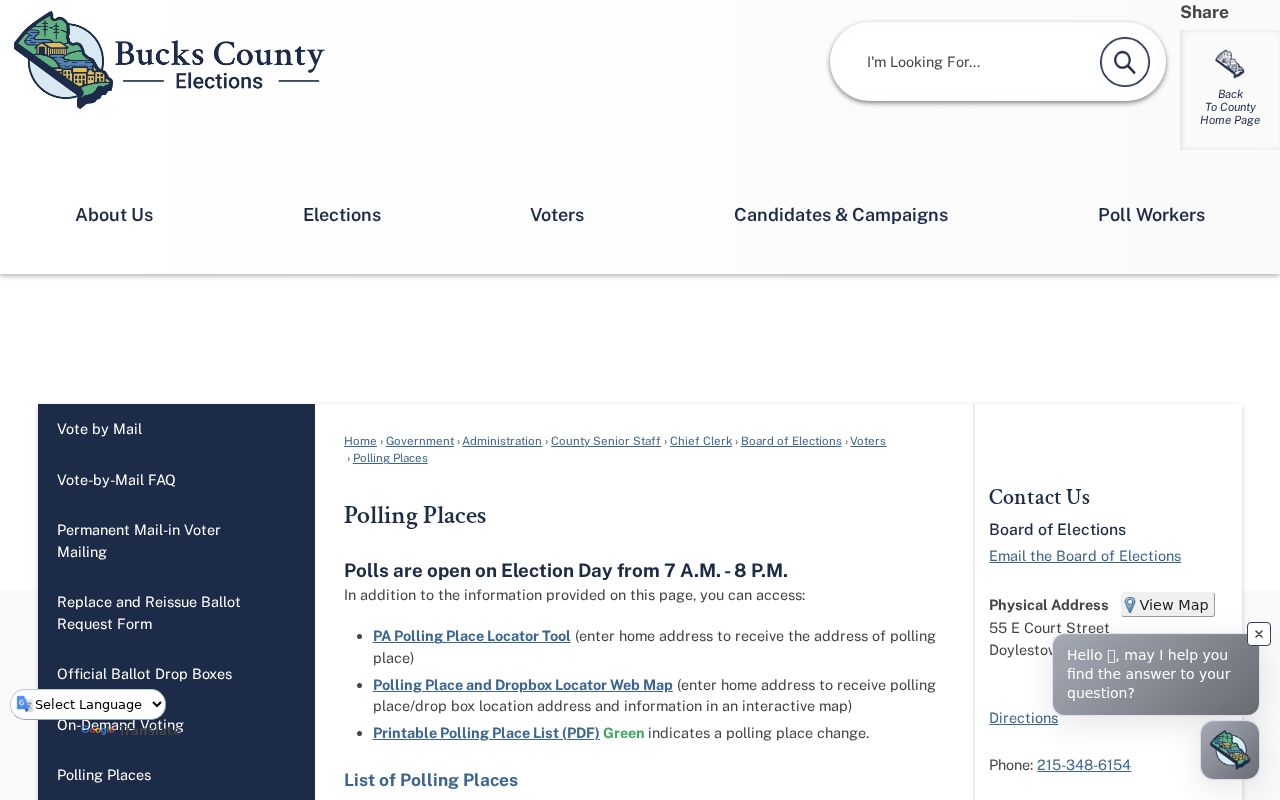
A postal locality is not a municipal-boundary record. County polling-place information illustrates the point: Buckingham's Lower precinct context includes a New Hope mailing locality, Middle precinct facilities use Buckingham, and several Upper precinct locations use Doylestown. Those labels help a letter reach a destination. They do not change the governmental identifier kept by county systems, which is Buckingham Township.
The Bucks County polling-place page provides the official precinct context behind that mismatch.
Use the postal place name as a search variant, then confirm the municipality in a county record before deciding whether an address is actually in Buckingham Township.
Furlong, Lahaska, Pineville, and Wycombe need extra care because the Township describes each in a border setting. An address with one of those labels can be a useful clue, but not a substitute for the parcel map and municipality field.
Buckingham Township Postal Formatting
Use the official USPS ZIP Lookup to format a known mailing address. Its By Address route accepts a street with city and state or a street with ZIP, with optional company and unit details. It also offers By City and State and Cities by ZIP. USPS says that a result does not confirm that a person or organization is at the address. That boundary matters when a postal lookup is being used to clean up an address rather than identify an occupant.
The USPS address form is the source for the delivery-format step.
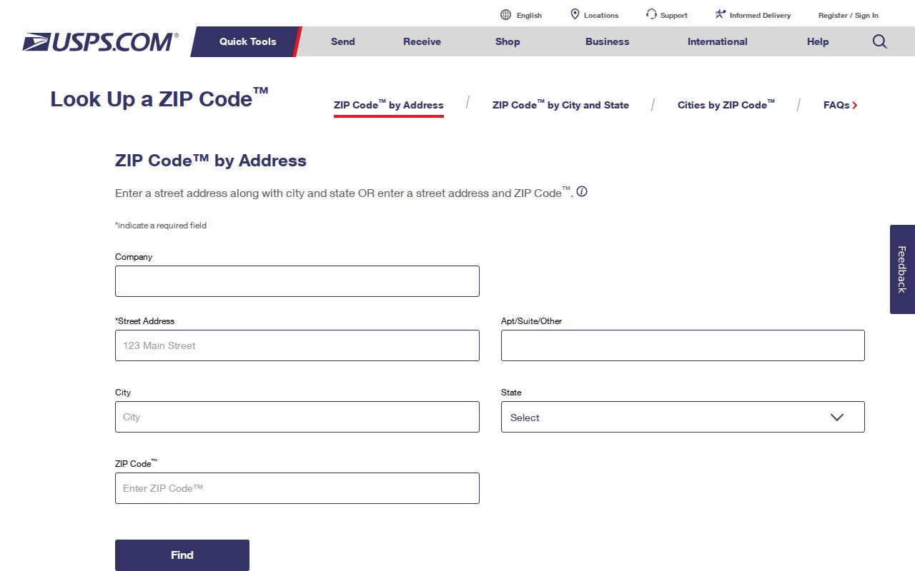
Once the delivery wording is clear, switch to county property and map tools for municipal geography. USPS provides the postal convention. Bucks systems provide the local government and parcel context.
- ZIP and ZIP+4
- A ZIP identifies a broad postal delivery area. ZIP+4 adds a narrower delivery segment, such as a block face, building, or unit grouping.
- PO-box ZIP
- A ZIP assigned for post-office-box delivery. No Buckingham-specific PO-box-only ZIP was verified in the local research.
- Unique ZIP
- A ZIP used for one institution or organization. No Buckingham-specific unique ZIP was verified in the local research.
- Carrier route
- A postal delivery sequence used to move mail. It is not a municipal boundary or a resident roster.
Buckingham Township ZIP Search Fields
The Bucks County Tax Information form has a ZIP field, but its place in the form is important. It appears under Owner Information with the name, mailing address, and city fields. It is a mailing-ZIP refinement, not a complete geographic count of all parcels or people in the Township. The Municipality field is the local-jurisdiction control, while Location Address takes house number and street only.
| Tax Information field | What it means for a ZIP search |
|---|---|
| Parcel Number | Stable county map handle; enter the associated dashes exactly. |
| Location Address | House number and street for the physical property location. |
| Municipality | Select Buckingham Township to test local jurisdiction. |
| Name | Owner-information search field; last name first is accepted. |
| Mailing Address, City, and ZIP | Recipient and mailing refinements, not situs proof. |
The Board of Assessment says the public system is uploaded weekly and warns that a Recorder transfer can take time to reach the displayed owner field. Record the date of the result, then use the Recorder as the confirmation path for a more recent instrument. The Bucks County Board of Assessment Public Access System and tax form work together, but neither turns a mailing ZIP into a townshipwide directory.
Note: The ZIP field narrows owner mailing data and must be paired with municipality and parcel fields before reaching a geographic conclusion.
Search Buckingham Township by ZIP
A ZIP can narrow a known address, but it should be treated as one field in a four-part address log. Keep the situs, mailing address, legal description, and postal city and ZIP in separate columns. The distinction solves many apparent conflicts: a property may have a Buckingham Township situs, a Doylestown or New Hope mailing label, and a legal description that does not resemble a modern street address.
- Enter the complete known address in USPS By Address and save the delivery wording returned.
- Search the address or parcel in Bucks tax and assessment tools, then confirm Municipality equals Buckingham Township.
- Capture the parcel number and consult Bucks County Maps & Data for mapped context and municipal relationship.
- Use the Tax Information ZIP field only as an owner-mailing refinement. Do not describe its results as a complete set of local residents.
- For a historic address, add the village alias and deed legal description before checking directory, newspaper, cemetery, or map sources.
County voter information uses a different channel. The self-status service is not an open ZIP browse tool. The formal Department of State Street and Walking list products run through a written request with statutory-purpose conditions, not through a ZIP directory. The Street List includes name, residence and mailing address, party, and status; the Walking List leaves out mailing address. Those formats must be requested and handled only under their stated rules.
When a ZIP has narrowed a search to a known road or property, use the Buckingham Township street directory for the address-based parcel and Recorder workflow. Street-level work depends on the county's property identifiers, not on postal delivery labels alone.
Buckingham Township Postal Aliases
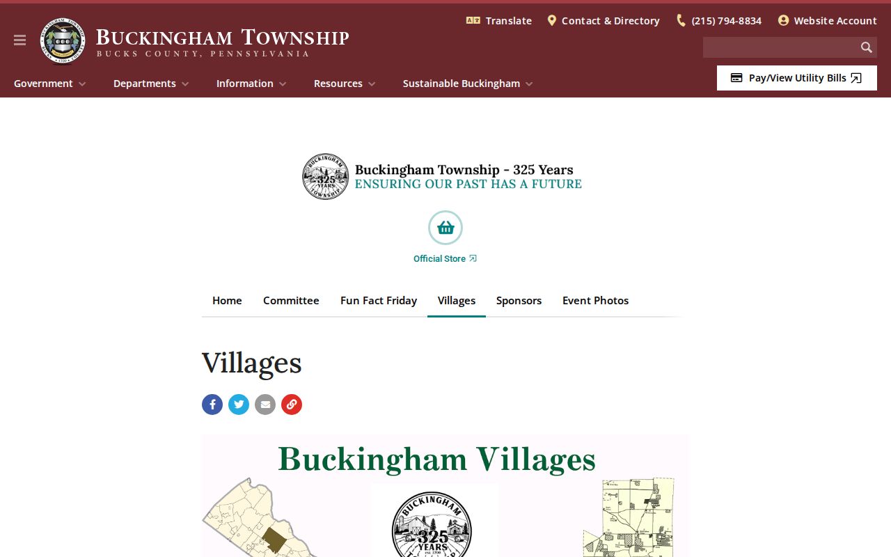
Historical postal and place names expand a ZIP search when a modern address is missing. The Township's village-history material says Holicong was formerly Greenville, Mozart was formerly Concord, Furlong was also Beartown, Green Tree, and Bushington, and Spring Valley was Mechanics Valley. A deed, directory, newspaper, meeting, cemetery, or census entry may use any of those names rather than the modern label.
The Township's village-history screen is a useful reference for those address variants.
Aliases are search leads, not boundary proof. Pair a village term with a parcel, legal description, map, or dated record before assigning it to today's Buckingham Township geography.
Note: No verified Township-wide street-renumbering program or ZIP realignment year was located, so a historic address should be reconciled case by case.
Buckingham Township Postal Geography
Buckingham's rural and village-based pattern explains why postal labels need context. The Township history describes a landscape of rolling countryside, streams, Buckingham Mountain, historic farms, and crossroads rather than one numbered downtown grid. Village terms grew around meetinghouses, inns, mills, farm roads, rail stops, and later crossroads. That history makes a road map, legal description, and old place name useful companions to a postal lookup.
The Buckingham Township history page provides the local geography behind these research choices.
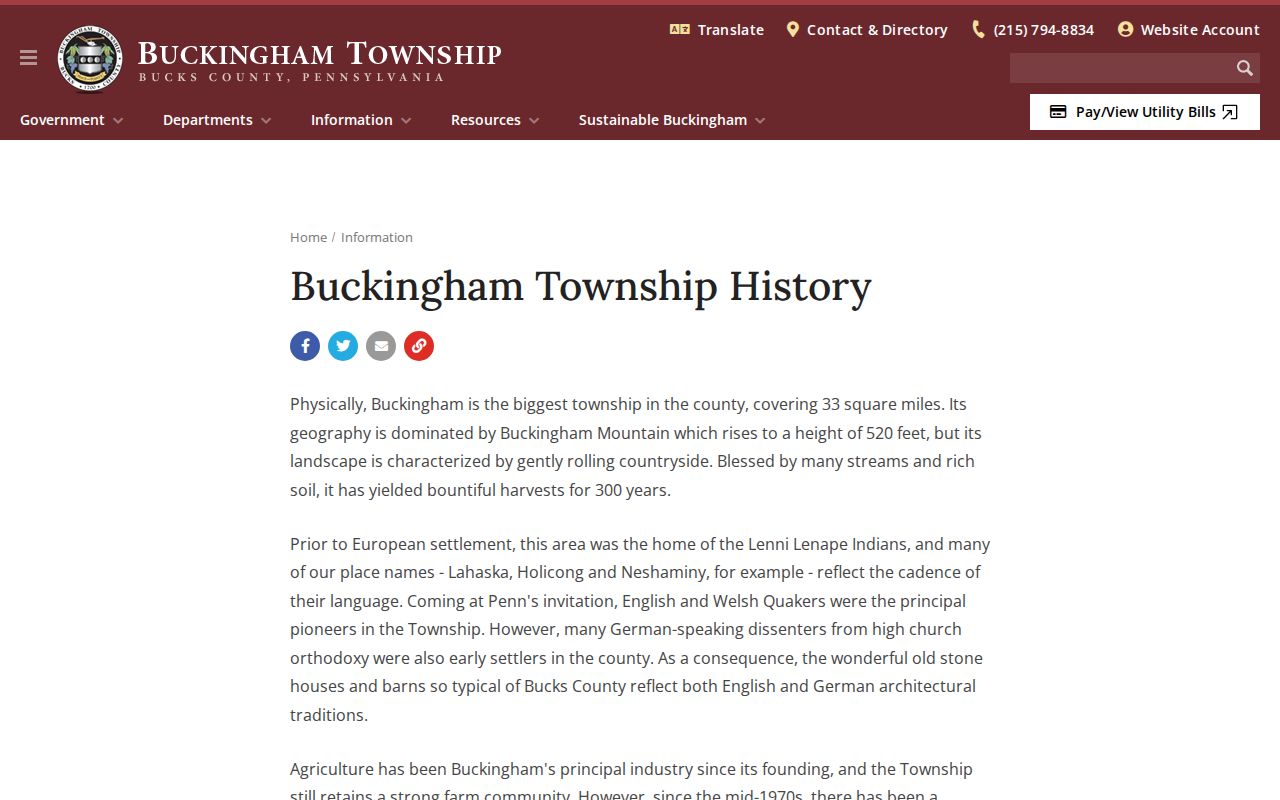
Its place-based history supports searching Greenville alongside Holicong or Mechanics Valley alongside Mechanicsville, while the county parcel record remains the more reliable source for a particular modern location.
The Township's 2025 land-preservation update reports 6,475 acres permanently protected and explains that conservation easements run with the land and are recorded at the Recorder. That is a useful property-history lead when a tract name appears with a postal label. It is not a ZIP boundary and it does not establish who is connected to a particular address. Pair any easement reference with the actual parcel, map, and recorded instrument.
Buckingham Township ZIP Boundaries
ZIP boundaries and township limits do not line up as a single map. A Doylestown, New Hope, Forest Grove, Furlong, Lahaska, Pineville, or Wycombe postal label can occur in Buckingham Township context, and boundary villages can also reach into neighboring townships. Use the delivery label to search mail and historical references, but use Municipality = Buckingham Township, the parcel number, mapped geometry, and deed legal description to reach a local conclusion.
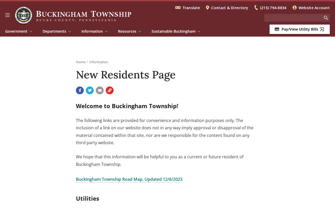
The Township's New Residents material is the starting reference for all ten listed postal labels.
No local source verified per-ZIP population totals, registration totals, post-office-box-only ZIPs, unique institution ZIPs, postal boundary polygons, or a ZIP realignment timeline for Buckingham Township. USPS verification and Bucks parcel records must therefore settle individual address questions case by case.
Address limit. A ZIP helps format and narrow an address. It does not identify an occupant, prove township residency, or replace the county record custodian.