
Search a Buckingham Township Street by Address
Begin with a complete delivery address, but do not let the postal city substitute for the government jurisdiction. Buckingham is a township of villages and crossroads, and the county systems use Buckingham Township as the municipality field. The County Tax Information form is the practical entry point because it accepts a parcel number or a last-name and address route. For an address search, use the house number and street only. Preserve the returned location address, municipality, parcel number, owner fields, and mailing fields as separate observations.
The sequence matters. A parcel number links the address record to the county map. A current owner name or a deed reference can then lead to the Bucks County Recorder index. Building and zoning material may explain a construction or planning change at the same address, while historical county directories can provide only a dated, selective name or post-office snapshot. None of these sources is a complete household list. Their value is in the record trail they create when they agree.
- Normalize the known address with USPS and retain its delivery wording separately from the Buckingham Township municipality choice.
- Search the Bucks County Tax Information form by house number and street, then save the parcel identifier and displayed address fields.
- Use Bucks County Maps & Data to place that parcel on the map and check the mapped parcel context.
- Move from the owner or book-and-page reference to the Recorder's name-and-date index rather than trying to search the Recorder as a street list.
- For a permitted civic-record request, use the official Pennsylvania Street or Walking List route. For historic context, ask a repository for a county directory or telephone volume under the relevant village name.
Note: Record the source date with each result because assessment data can lag a newly recorded deed and online interfaces can change.
Buckingham Township Street Directory Tax Fields
The street directory's address layer is the County Tax Information form and the Board of Assessment public-access path. The form makes a useful distinction between Property Information and Owner Information. Location Address, Municipality, and parcel number help establish which mapped property is being reviewed. Name, Mailing Address, City, and Zip Code refine an owner or correspondence search. A mailing city or ZIP is not proof that the recipient is at the property location. The Board also states that it uploads data weekly and warns that ownership shown in the assessment system may trail the Recorder.
| Tax-form field | Use in a street search | Format or limit |
|---|---|---|
| Parcel Number | Stable county map and index handle. | Use every associated dash; it is an alternative to the name/address route. |
| Location Address | Find the property by street. | Enter house number and street only. |
| Municipality | Keep the result inside Buckingham Township. | The public form exposes a dropdown label. |
| Name | Refine a property-owner search. | Last-name-first formats are accepted. |
| Mailing Address, City, Zip Code | Document the correspondence field. | Keep these apart from the mapped location. |
The County Board of Assessment also maintains tax maps, assigns parcel numbers, processes subdivisions and assists the public. When a result appears stale, compare it with a recorded instrument or call the Board instead of changing the historic record to fit a current screen. This is particularly important after a deed, subdivision, or change in legal description.
A situs address is the physical property location used by the map and tax record. It is different from the tax mailing address. The separate legal description is the lot, tract, subdivision, or metes-and-bounds language that appears in a deed. Keeping all three fields intact makes the Buckingham Township street directory more reliable on older roads.
Buckingham Township Parcels by Street
County mapping is the bridge between a street address and a parcel. The Parcel & Floodplain Viewer has address and parcel search, a Buckingham Township bookmark, layer and attribute tools, and configured Query Parcels options for parcel number and parcel buffer. Selection geometry can use a point, line, extent, circle, polygon, or freehand polygon. Those controls are useful for documenting parcel geography. They do not turn a map into a list of people on a road.
In the official parcel layer, fields include PARCEL_NUM, ADDRESS, MUNICIPALITY, DEED_AREA, OWNER1, OWNER2, CARE_OF, land and building values, total value, land-use code, and modification date. The layer does not provide the tax mailing address, so that field belongs in the tax-form record. Preserve a trust, company, care-of entry, or multiple owner fields exactly as they appear.
View the Bucks County Board of Assessment Appeals source before using the parcel layers. The image below shows the county assessment entry point associated with Buckingham Township street-directory research.
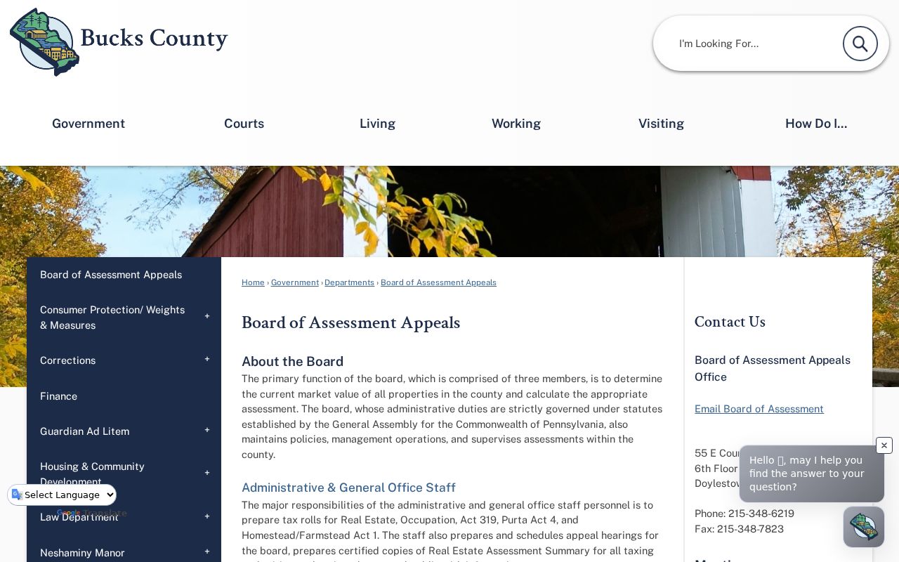
The assessment route supplies the parcel bridge, while the map supplies the geometry. Confirming both reduces the risk of attaching a road name to the wrong parcel.
Buckingham Township Records Along a Street
Different address-linked sources answer different questions. The tax and assessment route supplies current parcel, location, ownership, and mailing clues. The map shows parcel geometry and adjoining boundaries. LANDEX and the Recorder supply a dated party and document trail. Township files can add a permit, plan, or meeting record if one exists. County directories and telephone books provide historic snapshots, not a continuous street-by-street run. Keeping the source purpose beside the result prevents an ownership record from being treated as a claim about everyone at an address.
| Address source | What it can show | Access path | Important boundary |
|---|---|---|---|
| Tax and assessment systems | Parcel, property location, owner and mailing clues. | County public form and Board access system. | Displayed ownership may lag the Recorder. |
| Parcel and GIS viewer | Boundary, mapped address, owner fields, area, value, and land-use fields. | Address, parcel, geocode, or map query. | Map proximity is not a social relationship. |
| Recorder and LANDEX | Direct and indirect parties, dated instruments, and legal-description trail. | Name, date, document, instrument, or book/page route. | It is name-indexed, not street-indexed. |
| Township permit and planning files | Address or parcel-based project evidence. | Portal, counter, or RTKL request. | No verified public historical permit index exists. |
| Voter Street or Walking List | Authorized voter fields by street. | Official state request form under its statutory controls. | It does not cover every person at an address. |
The Bucks County Recorder holds recorded instruments from 1684 to the present. Its public research area, microfiche, microfilm, and PDF/A holdings are critical fallback channels when an online search does not answer the question. The Recorder can provide a LANDEX tutorial, but staff do not conduct a title or historic search for a visitor.
Buckingham Township Address Permit Files
Township Building & Zoning records add a local layer to a street directory search. The public department page is a document and contact menu, not a historical address-search database. Its posted categories include single-family dwelling, basement alteration, change of occupancy, commercial work, subdivision and land development, tank and well work, technical-code review, and zoning-hearing appeals. A file can help establish when physical work, a driveway, a well, or a planning action was proposed or approved at a particular address.
The public BS&A portal has Address, Name, Parcel Number, and Building Department Record Number searches. Its results and historic coverage could not be verified because the unattended result endpoint required CAPTCHA. For a particular non-posted file, contact Building & Zoning with the address, parcel number if known, approximate year, and record type. The Township RTKL route is the written fallback for eligible agency records, and a request can ask for inspection rather than copies.
The Buckingham Township BS&A portal shows the address, name, parcel-number, and record-number entry paths.
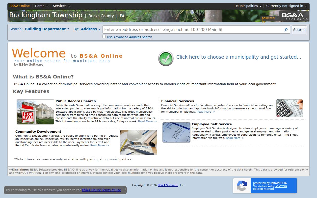
The displayed portal is an issued-permit and address-record pathway, not proof that its public results cover all historic files.
The Buckingham Township Building & Zoning page shows the office and its document categories used in this address research.
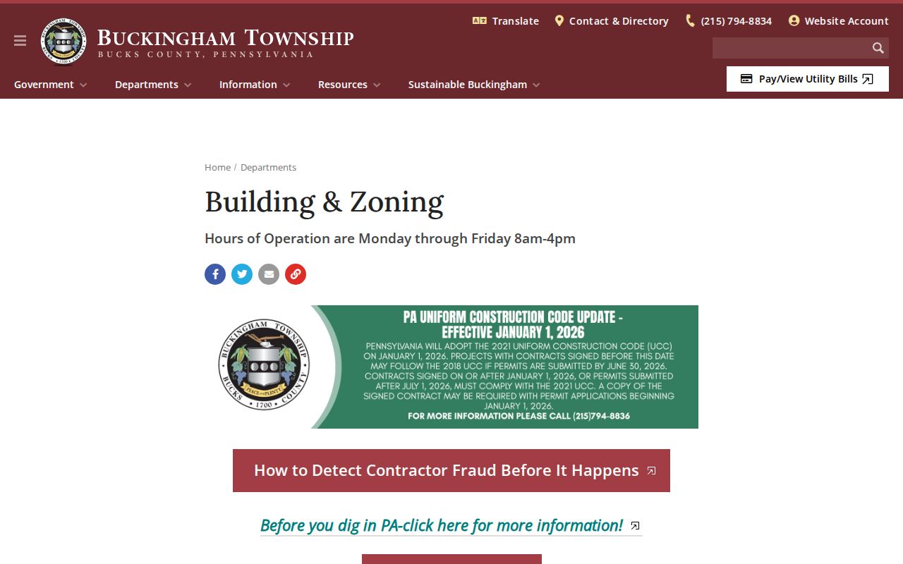
Use the page to select the right file type before requesting a record. An application category or a posted form does not establish what a historical search result will contain.
Note: The Township has a deed-registration follow-up requirement, but no public registration index was found for street-directory searching.
Buckingham Township Street Deed Trails
The Recorder is the long-term part of a Buckingham Township street directory search, but its books are organized by parties and periods. A current owner or book-and-page reference from the assessment and tax route supplies the bridge. In LANDEX, the seller or mortgagor is a Direct Party, while the buyer or mortgagee is an Indirect Party. Follow the current seller backward as an earlier party, then compare the deed's legal description and parcel continuity before treating two records as the same place.
Published index periods are 1684-1919, 1920-1941, 1942-1951, 1952-1963, 1964-1971, 1972-1979, 1980-1988, 1989-1993, 1994-1998, and 1999-present. LANDEX has a fee-associated online route. The public research area in Doylestown, the historic index books, microfiche, and microfilm are alternate channels. A copy can also be sought from the Recorder by telephone or mail under its stated procedures.
The Bucks County Recorder of Deeds source explains the office's recorded-instrument role and public-research access.
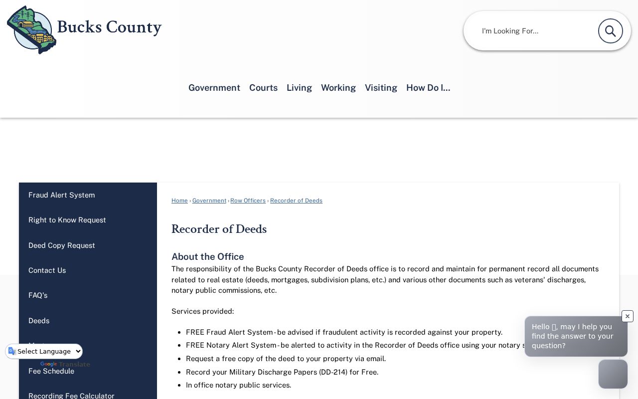
A deed name is evidence of a recorded transaction, not a complete street roster. The date, party role, document type, and legal description should travel with every citation.
| Parcel | The county's map and database identifier for a property. |
|---|---|
| Situs address | The physical property location, separate from a correspondence address. |
| Plat or plan | A recorded map or plan that can help connect lots, boundaries, and a subdivision description. |
| Direct and indirect parties | Recorder index roles for the seller or borrower side and buyer or lender side of an instrument. |
Buckingham Township Voter Street Records
Pennsylvania separates personal registration-status confirmation from the official public list route. The online status service is for an individual's own status. It is not a public browse-by-street directory. For Buckingham voter-file administration, the Bucks County Board of Elections maintains registration and address changes across the county's voting districts. A lawful street-level request goes through the Pennsylvania Department of State form, not through the self-status checker.
The Street List includes name, residence address, mailing address, party, and active or inactive status. The Walking List omits the mailing address. Electronic list requests have a posted $20 charge and require a signed affirmation with limits on permitted use and Internet publication. Voting history records participation, never ballot choices. The formal list can be a narrow civic-record layer, but it cannot show unregistered people or establish a full address population.
Note: Use the official voter-list request form only through its stated identity, purpose, and delivery requirements.
Buckingham Township Street Names and Aliases
A rural address trail may be filed under a village or post-office label rather than a modern road number. The Township's village history identifies Holicong as Greenville, Mozart as Concord, Furlong as Beartown, Green Tree, and Bushington, and Spring Valley as Mechanics Valley. These names are useful alternate search terms for a directory, newspaper, church, cemetery, census, deed, or map search. They are not proof that every record using the label falls in present Township limits.
The Township lists ten postal labels and ZIP codes that serve local addresses, including Buckingham, Doylestown, Furlong, Forest Grove, Holicong, Lahaska, Mechanicsville, New Hope, Pineville, and Wycombe. Postal locality is especially important when a tax search needs Municipality set to Buckingham Township. Research found no verified Township-wide street renumbering or renaming program. When a historic address does not match a current road, use the parcel map, legal description, subdivision plan, and alias rather than inventing a conversion.
For historical household snapshots, the Buckingham Township city directory collections explain the selective county and telephone sources that can supplement the modern parcel trail.
Limits of a Buckingham Township Street Directory
A parcel owner, care-of field, tax correspondence address, permit applicant, or recorded party is not automatically every person connected to a location. The county GIS does not expose a tax mailing address in its parcel layer, and the tax form's mailing field can describe correspondence rather than the mapped place. The public sources reviewed do not provide utility customer lists, motor-vehicle address data, a verified historic permit index, or a complete public Buckingham reverse-directory series. An absence from a directory or voter list is not proof that no one was present.
The Recorder's free property-fraud alert offers a practical safety layer for property owners, but an alert is not proof that a recording is valid. The county's published preservation and early-record depth are useful reasons to ask for the specific index period, microfilm reel, book, or appointment that matches a property question.